
Experimental Forecasting System for Gulf of Mexico
Disclaimer: This is an experimental web portal for graphic visualization of the operational and experimental results from the storm surge and tide forecast systems being developed and tested by our lab at FIU using SCHISM.
It should not be used as an official forecast.
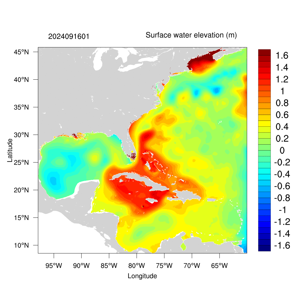
Surface water elevation from 20251024 to 20251028
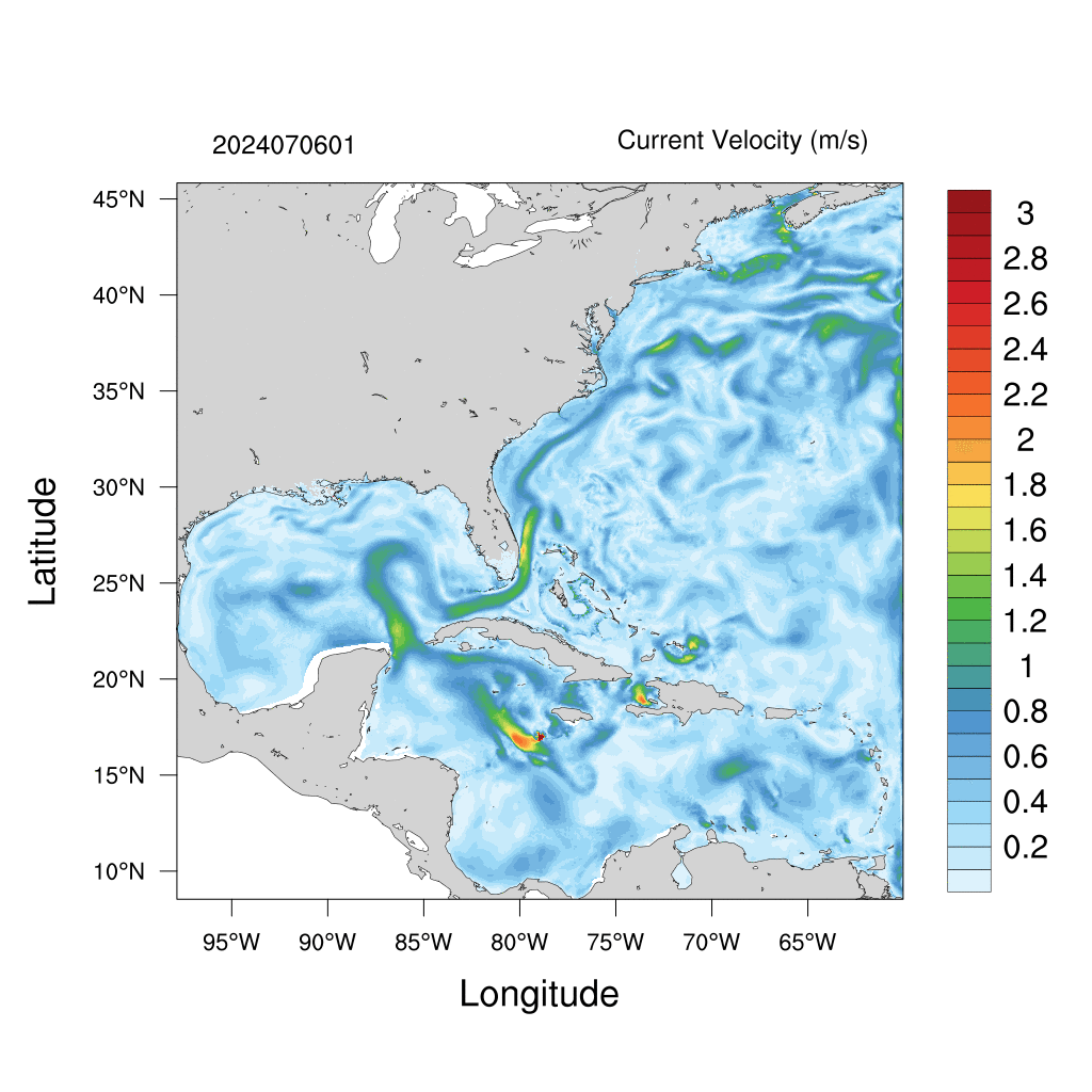
 Surface current velocity from 20251024 to 20251028
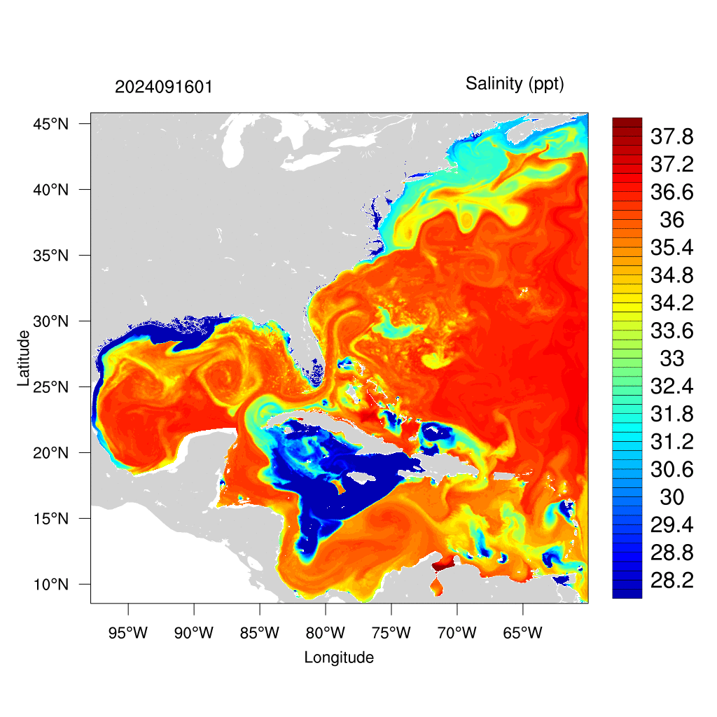
 Surface salinity from 20251024 to 20251028
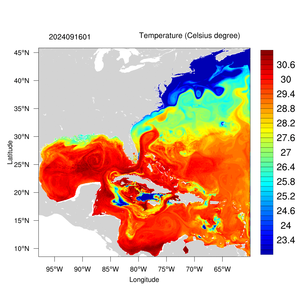
 Surface temperature from 20251024 to 20251028
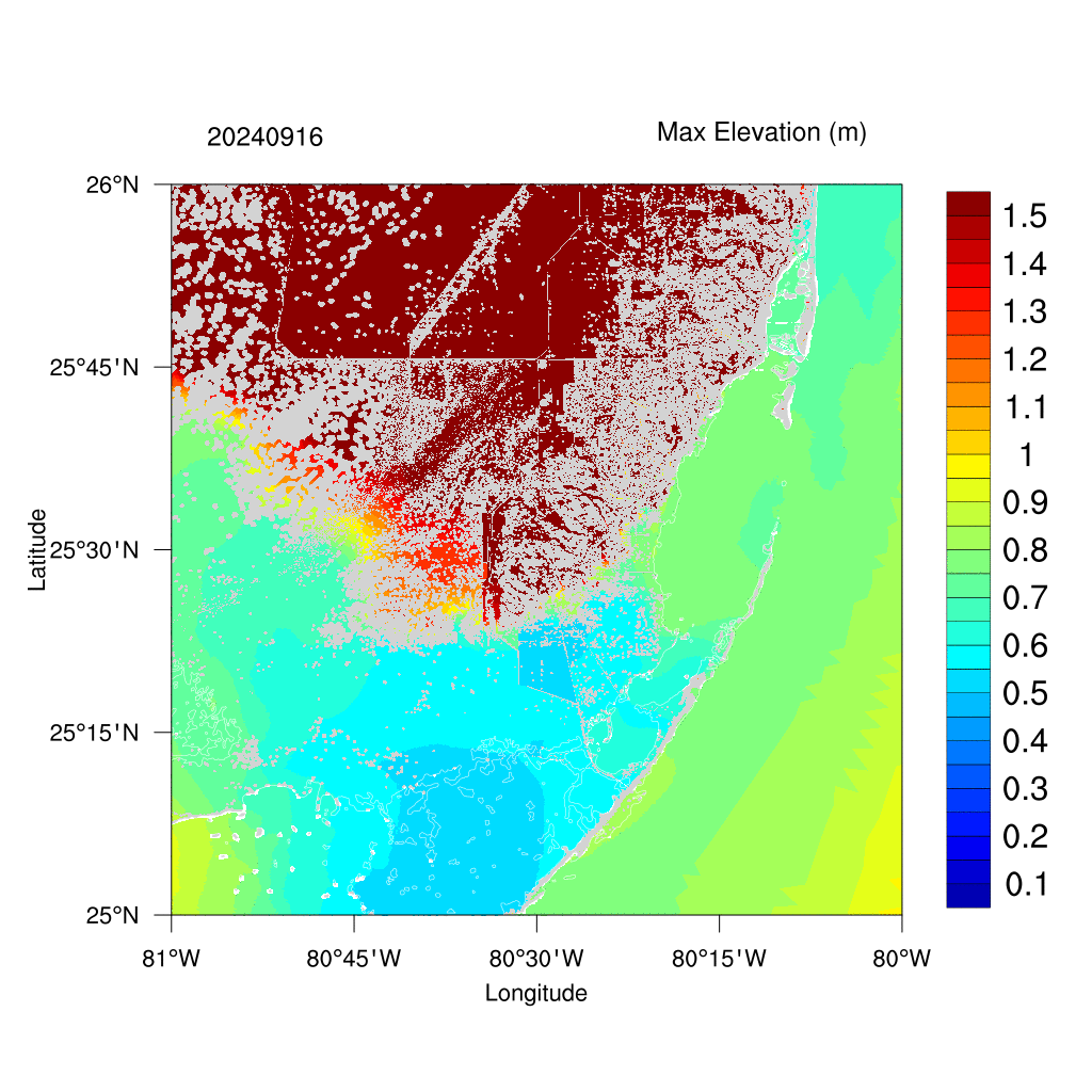
 Compound flooding map for Southeastern Florida from 20251024 to 20251028
 The map below showns observational stations used for validating the model’s results, as well as the horizontal grid.
The horizontal grid for SCHISM in simulating Biscayne Bay in South Florida, using flexible resolution resolving levees and canals (1-2 m), watershed rural and urban areas (30m-50m) and coastal ocean (500m-5km).
Turn off the hgrid to accelerate the display speed.
#Case 1
Flooded extent during Hurricane Harvey in 2017
(Maximum inundation depth from Aug 25 - Sep 13, 2017)